Long-Distance Star Map — Two Cities, One Night, Framed as a Pair
For people who live apart: two charts, one for each city on the same night, framed side by side. It's built on the honest version of "under the same sky" — which is more interesting than the greeting-card one.
Make the first of the pair
Free, in your browser — no account, nothing uploaded. Both downloads are the complete chart: a vector SVG and a 300 dpi PNG, with nothing held back and nothing to buy.
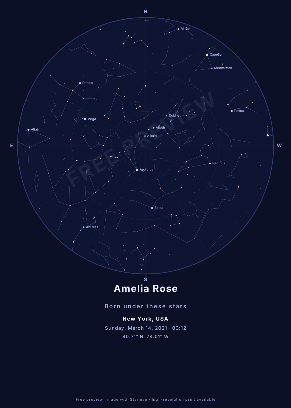
Here's the true part most star-map gifts gloss over: two people far apart are not under the same stars at the same instant. The Earth curves between you, so different constellations sit overhead in each place. What you actually share is the same date, and a handful of bright stars sitting low on the horizon in each other's direction. A two-map pair shows that honestly — and it's a better keepsake for it.
Building the pair
- Make two maps, one per city. The generator is free and unlimited, so produce one for each location on the same date, then frame them identically. Give them a shared subtitle line and caption each with its own city name.
- Choose "two nights" or "one instant". Enter each city's local evening time to show the sky each of you saw looking up — two nights. Or convert one shared UTC instant to each local time to show a single moment across the time zones. Keep whichever choice you make the same for both maps.
- Same theme, same size. A pair only reads as a pair if both charts match — pick the theme and size once and reuse them. Navy night gives the stronger side-by-side effect.
Good occasions for this: a couple in different cities, a parent and a child who moved away, friends split across a move, or the date you last saw each other. The date you both remember is the thread the two skies hang from.
Printing: download both files and take them to any print shop or online poster service — the tool makes the artwork, not the frames. Two matching frames hung a hand's width apart is the whole idea; order both prints at the same size so they sit level.
How the map is computed
You give it three things: a date, a time, and a place. For the place, type a town or city name and pick it from the list — 29,919 towns and cities of 18,000 people or more, from GeoNames — or enter an exact latitude and longitude instead. Accents are optional (“malmo” finds Malmö), but type the name on its own: “Roskilde Denmark” finds nothing, and a typo finds nothing rather than the wrong sky.
Your date, time and place are converted to a Julian Date and then to local sidereal time — the astronomer’s clock for “which way is the sky facing.” Each of the 1,630 stars in the Yale Bright Star Catalogue (every star brighter than magnitude 5.0, i.e. every star a good naked eye can see) is transformed to its altitude and azimuth at that exact moment, and every one of those stars above the horizon is projected onto the circular chart: zenith at the centre, horizon at the rim, north at the top — and east on the left, because a star map is read looking up, which mirrors east and west compared to a ground map.
The 89 constellation figures are drawn with the same math and clipped at the horizon. Star dots are scaled by real brightness (magnitude) and tinted by star colour. The Moon is drawn at its real altitude, azimuth and phase for your moment, and left off entirely when it was below your horizon. It does not show the planets, comets or satellites — those wander against the fixed stars and need ephemerides, which this version does not compute. Everything runs in your browser — nothing is uploaded, there is no account, and the page works offline once loaded.
Common questions
Are we really under the same sky when we're far apart?
Not exactly, and the pair is more honest and more interesting than the slogan. At the same instant, two distant cities have different stars overhead — the Earth curves between you. What you truly share is bright stars low on the horizon toward each other, and the same date. The two charts show that difference plainly.
Should both maps use the same clock time or the same instant?
Decide what you want to say. Enter each city's local evening time to show “our two nights” — the sky each of you saw looking up. Enter the same UTC instant (converted to each local time) to show the single moment across a time difference. Both are valid; the pair looks best when you keep the choice consistent.
How do I make it a matching pair?
Generate both maps with the same theme and the same size, then frame them identically side by side. Caption each with its city name and give them a shared subtitle line — the date, or a few words you both know.